Published
Lapland Trail 2025
Urho Kekkosen Kansallispuisto (UKK) is second largest national park in Finland. Located above the arctic circle in eastern Lapland, it is popular place to visit all year round. Most of the park is real wildreness and there are no supply options inside the park itself. We went here during August, which means no snow, long days and almost no mosquitoes. I will try to briefly recall what we did every day and who knows, maybe I will log more adventures in the future!
We have planned five-day loop stretching into the remote areas with two easy days to recharge. Main places on our route: Saariselkä – Vellinsärpimä – Kivipää – Lassinojanlampi – Puilakkalampi – Puilakankuru – Kalajyrhama – Porttikoski – Sotavaaranoja – Sarvioja – Paratiisikuru – Lumikuru – Muorravaarakka – Akanhärkäkuru – Hammaskuru – Luirojärvi – Tuiskukuru – Vintilatunturi – Aitalampi – Suomunruoktu – Retkeilreitti – Kahvila-Ravintola Kiilopää.
Day 1: Around Saariselkä (7 km)
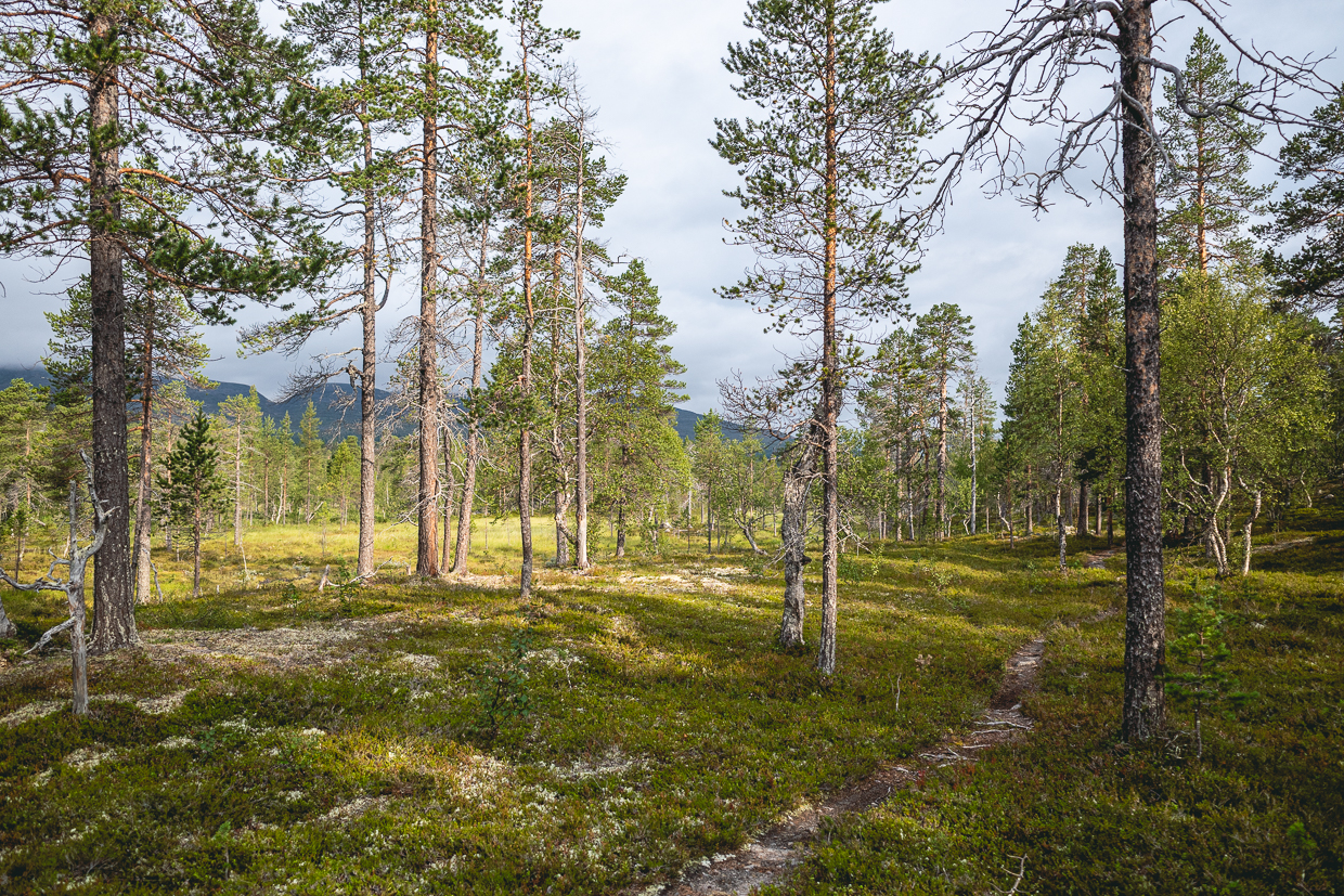
We are greeted by the strong scent of pine forests, you can tell that the air is completely different! Since we arrived around midnight after a marathon of air-train-bus travel, there was no hurry in the morning.
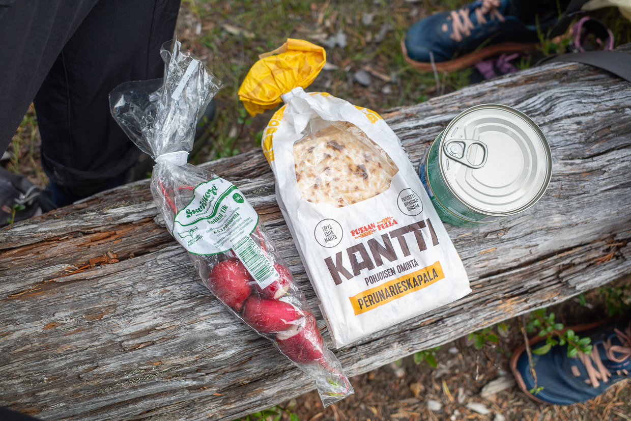
Saariselkä is a ski resort with lot of tourist compounds and skiing infrastucture (there was no snow btw). We went for a great brunch (lunch buffet, black coffee and huge donuts), bought a food supplies (lots of types of bread including rye bread called Ruispalat and not enough Daim chocolate bars) and gas canisters. I forgot my SD card at home and the nearest place to buy something like this was apparently in Ivalo, 60 kilometers away. Fortunately, I was able to use camera with internal memory and continuously download photos to a phone.
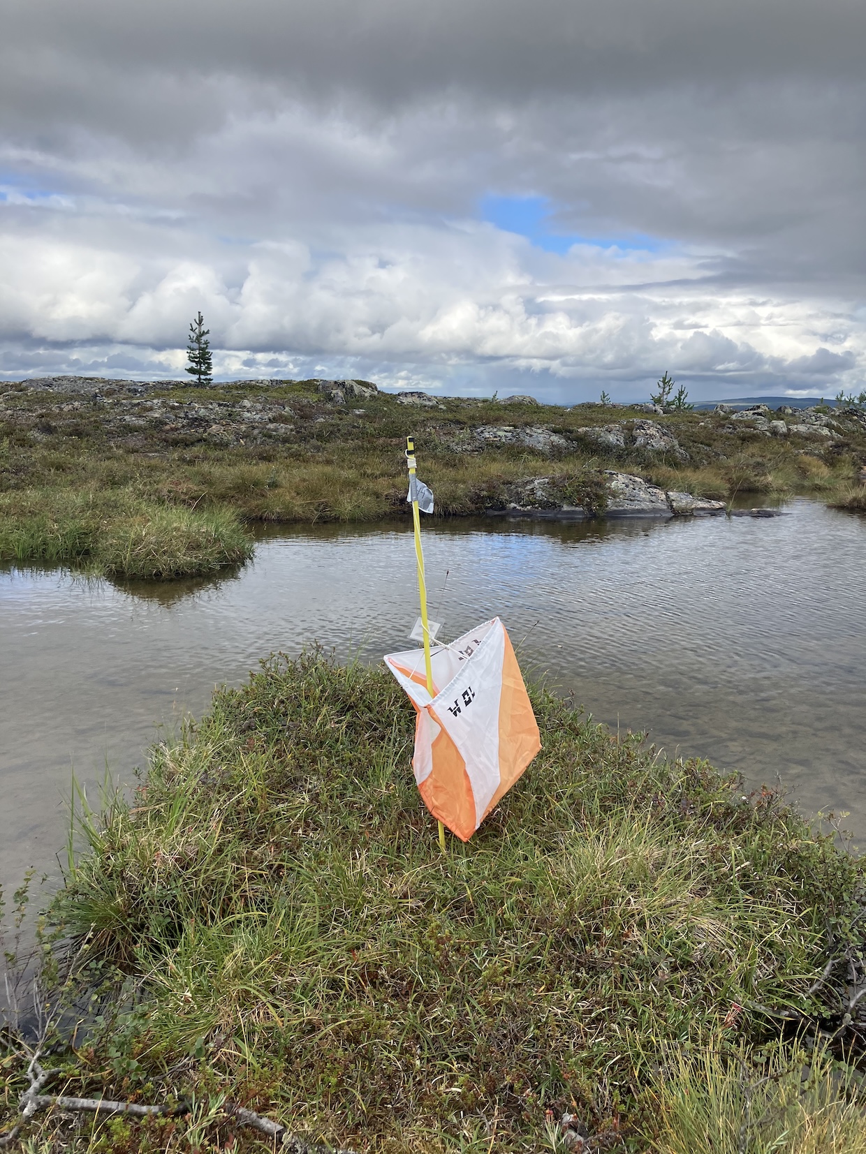
Also, one my higlights of this trip was something from my bucket list: orienteering above the arctic circle! Doing this here was very special, fun and … maybe felt too easy? You run through blueberries and soft, moss-covered ground, most of the map is white or yellow with good visibility. I was using someone’s old map for my lurking around, but in Finland you can generate a map with a tool like MapAnt and set your own course. I met a couple of control points, which surprised me, but later I found out that people organising Lapland O Week also provide some training opportunities and maps for a multi-day training camp.
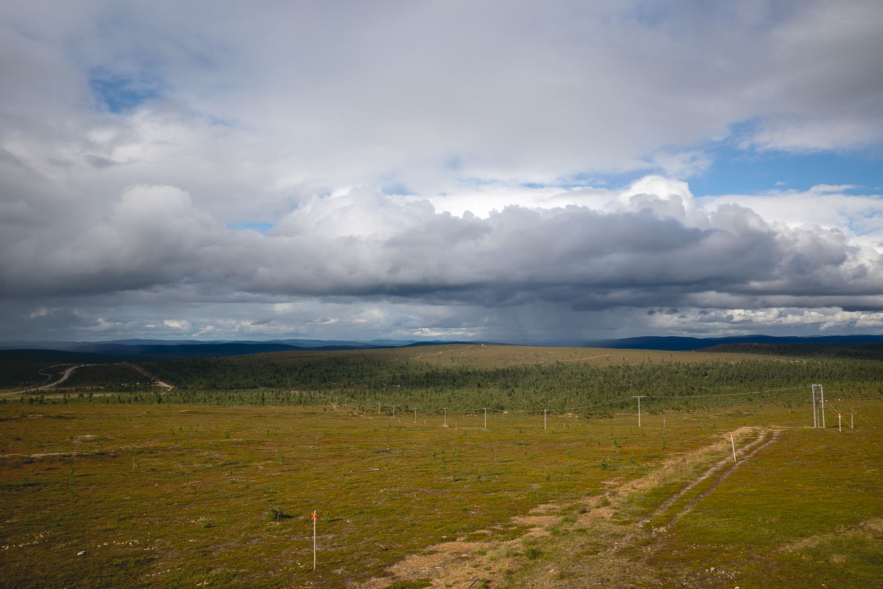
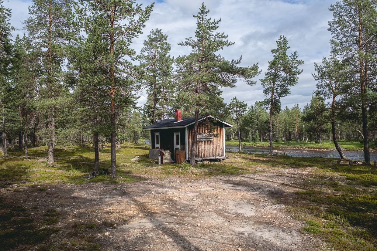
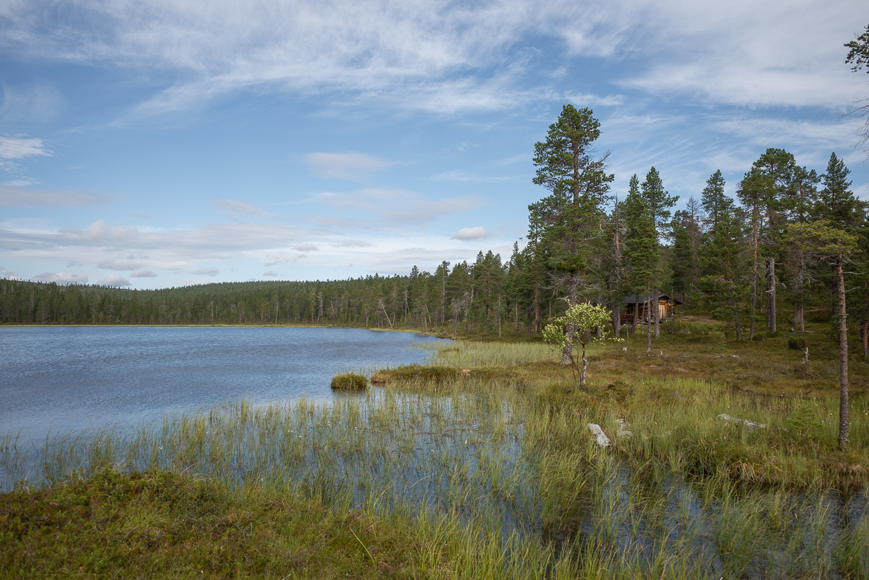
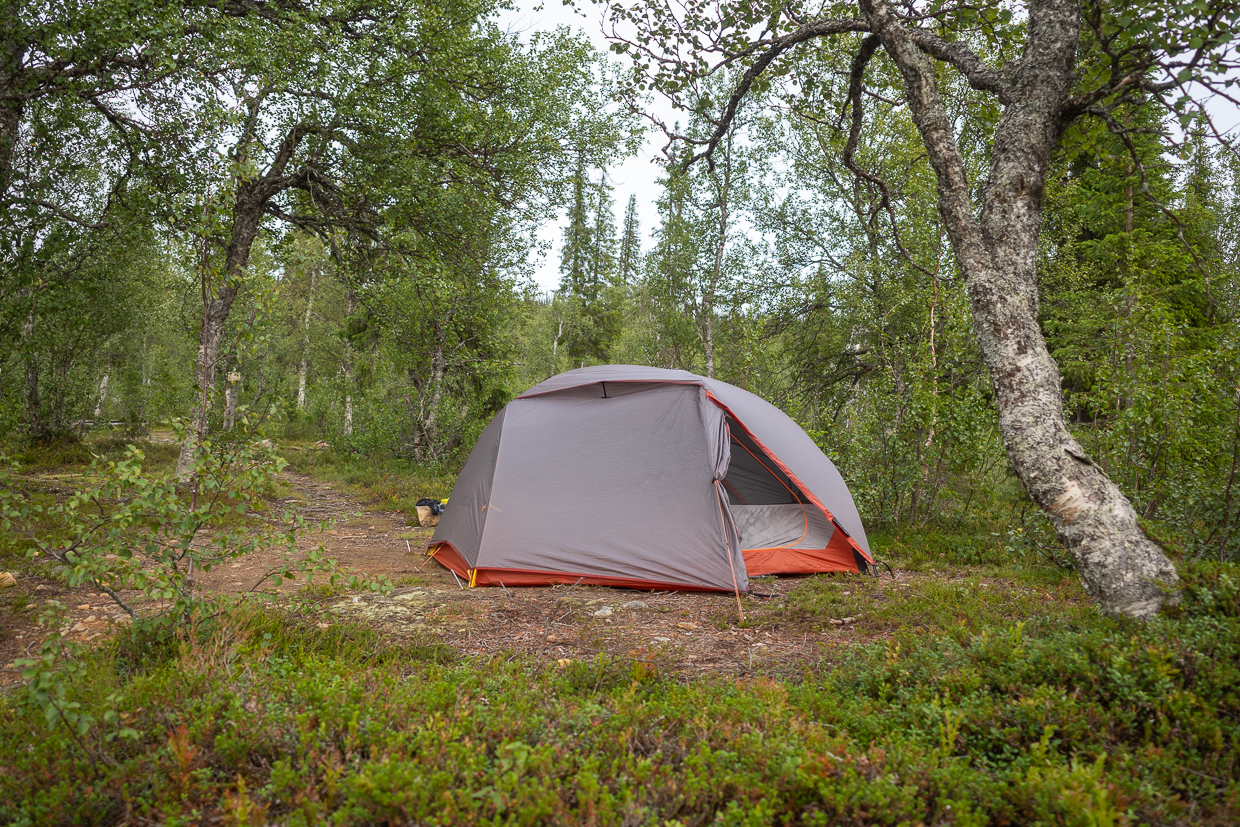
After all that, we left Saariselkä, logged our first kilometerst in UKK, and also our second night in a tent, next to Vellinsärpimä päivätupa (daily trip hut). Short walk, but a busy day.
Day 2: Through the tundra in short sleeves (23 km)
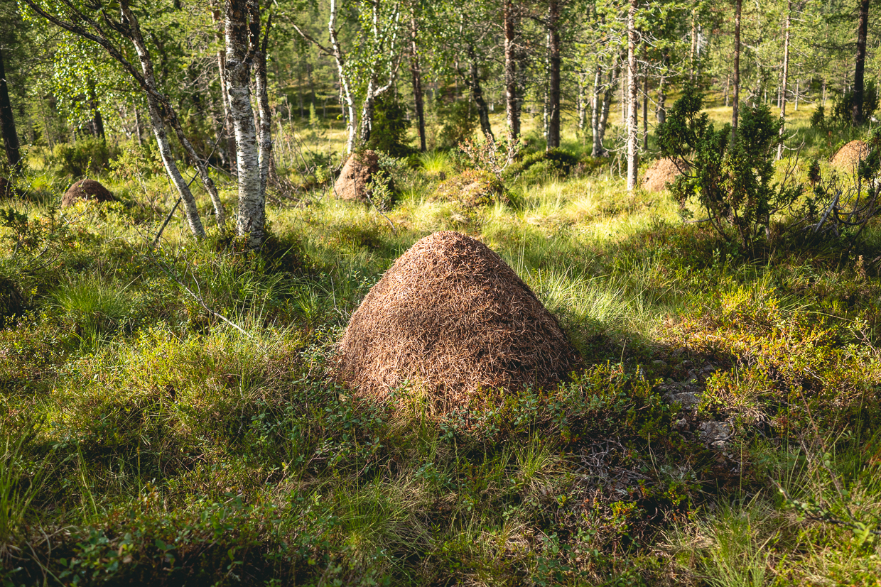
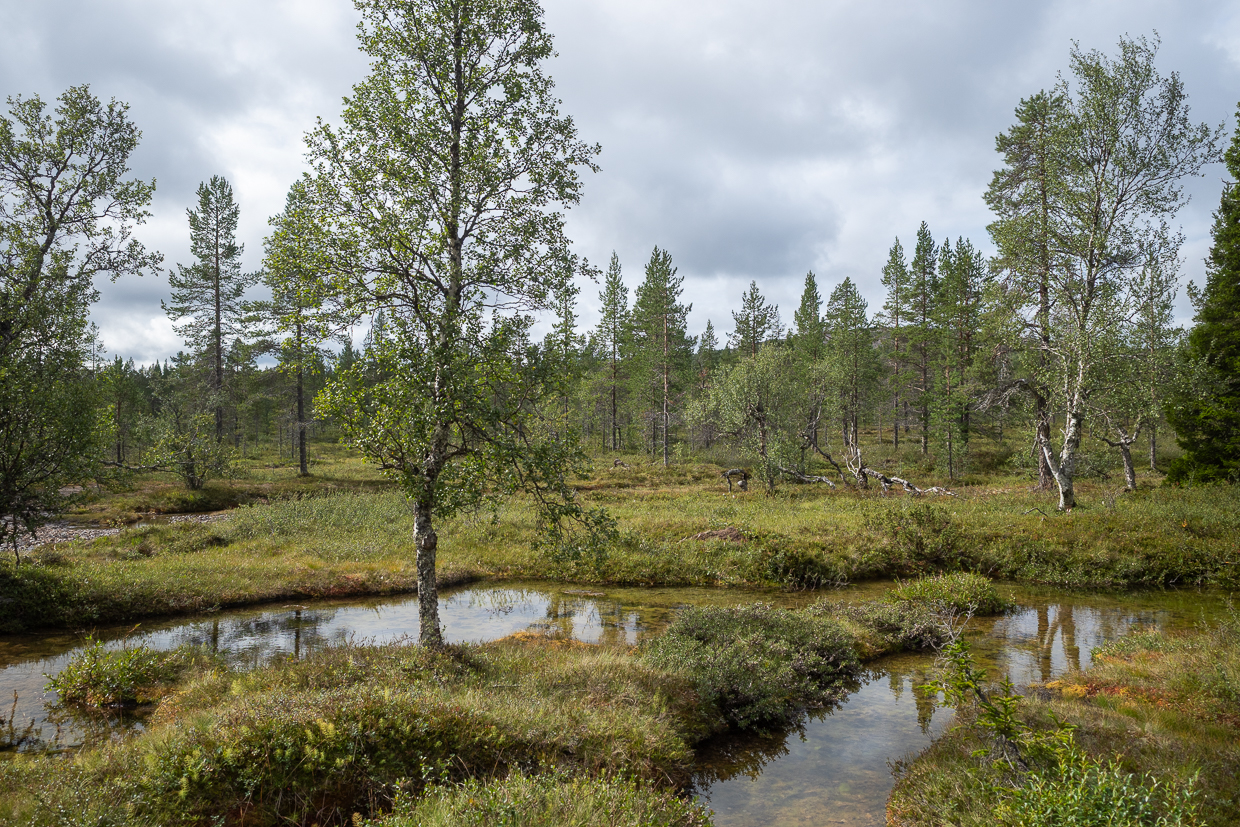
The arctic landscape might feel boring for some, but it really is diverse. Almost every corner has a different mix of blueberries, grass, pines, different type of rocks, yellow sand, marshes, piles of stones, anthills, small birch bushes and rivers and ponds with reflections of all above. It changes constantly, with almost every valley or plateau.
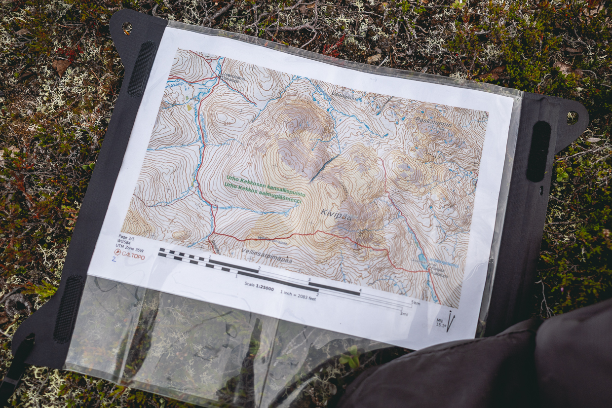
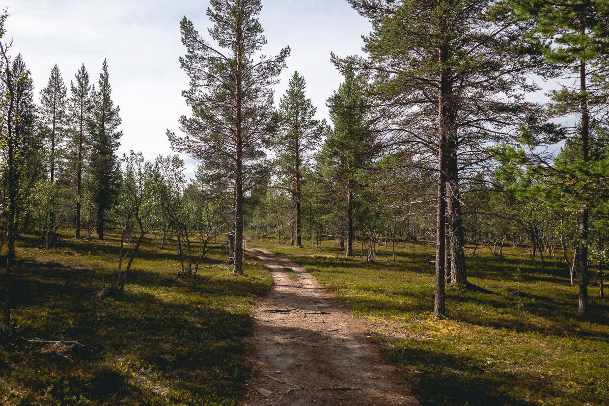
The first parts of our trek are on wide trails used for cross-country skiing in winter, so we go quite fast and enjoy the warm weather. There were just a few hikers we met, including some Czechs, who told us they are here for third time, and shared some tips.

Before Puilakkalampi, the path actually disappeared and we had to navigate with maps and compass, which is not uncommon in remote parts, so better be prepared for that. Right before Kalajyrhama, our second camping spot, we get a little wet in marshes and strong rain shower.
Day 3: Jumping over the rivers and fells (26 km)
After breakfast and some coffee, we start walking along the river Suomujoki with some dramatically-looking waterfall sections and less dramatic wading places. Suomujoki seems to be one of the main river bodies in the park and it is a very strong, fast stream. We left it behind and went right under the steep ridge of Kaarnepaa into much quieter, meandering riverbed of Sarvijoki.

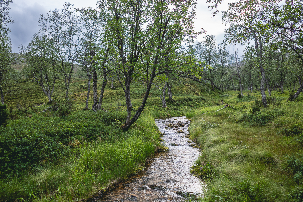
We had our lunch near Sarvioja varaustupa and started to ascend towards the rocks and waterfalls of Paratiisikuru. This gorge is one of two areas in UKK with restricted camping. The waterfalls were stunning, but also very steep and we had to walk slowly, since the path around them was invisible. But we got to the saddle, briefly enjoyed the strong winds right under Ukselmapää, park’s second highest peak. We descend through another ravine, Lumikuru and almost run on our last kilometers to Muorravaara, because storm is approaching fast, closer with each echo of thunder.
We manage to build our tent right in time with the first rain drops. If there was any overstretch in our planning, it was this stage: long and demanding in navigation, with unusual elevation gain.
Day 4: Finally, some mosquitoes (23 km)
Keeping it easy this morning, we continue along the marshy paths of the river Anterinjoki, where we put on the headnets for the first time. We move fast through the Akanhärkäkuru gorge, towards Hammaskuru, pausing only when taking photos.
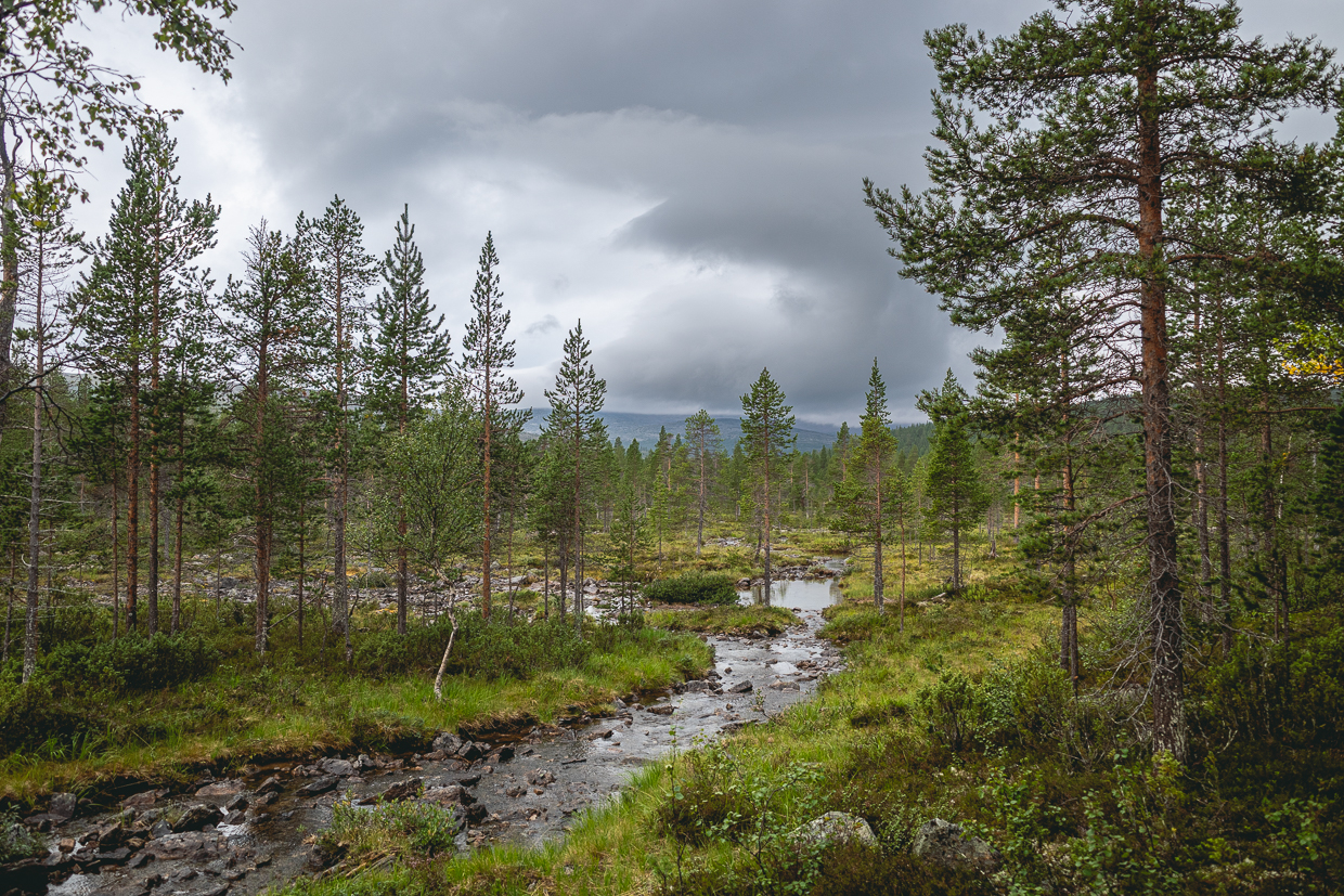
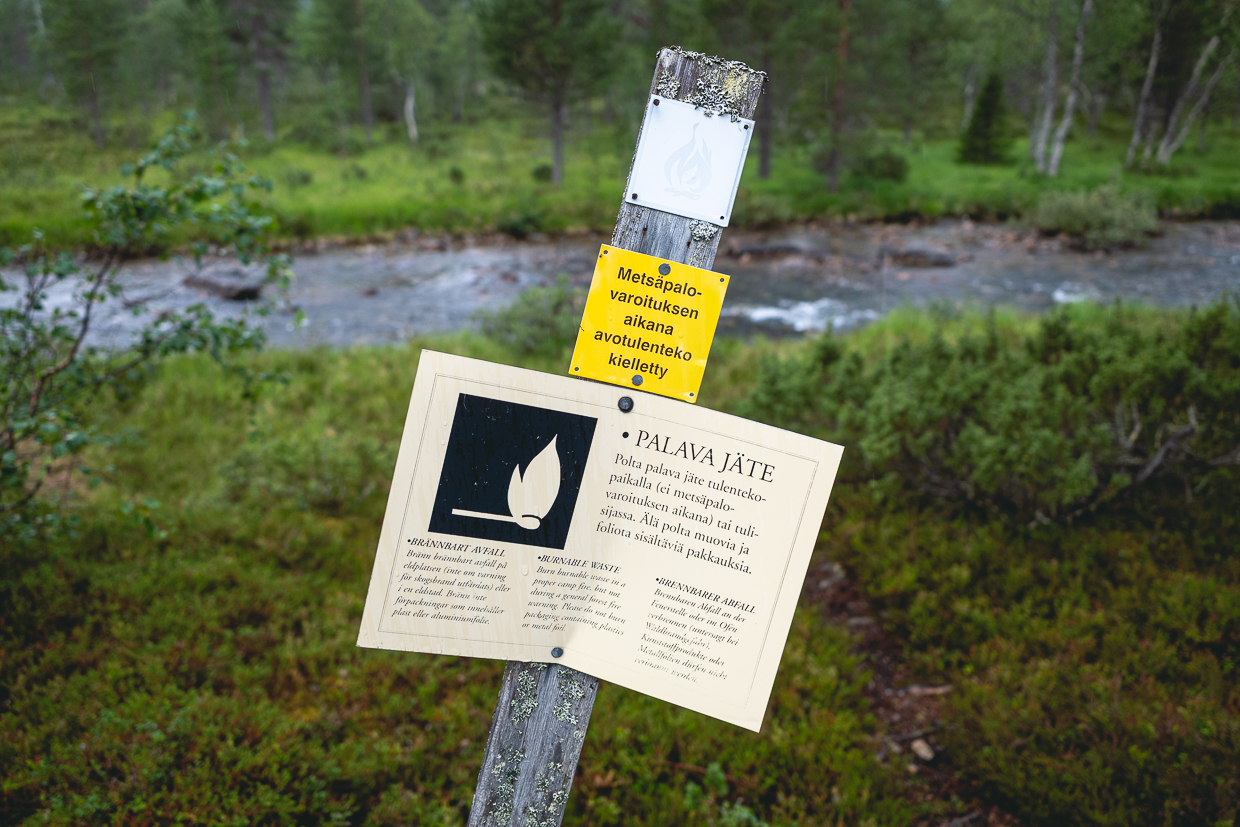
Today is more about endurance, we walk along rivers and swamps. We don’t have to look for a path, it gradually becomes so wide that you could drive on a quad bike. We also meet three reindeer, which is surprising, because they probably don’t wander so deep into the park.
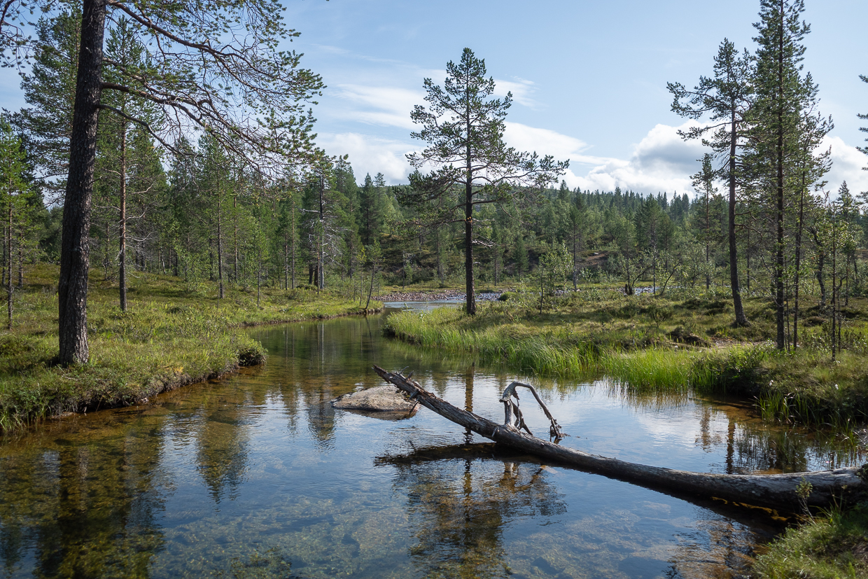
If I remember correctly, we hardly met anyone during the whole day. In the Hamskuru hut we make some coffee and read through the guestbook entries. Visitors are mostly from north and central Europe. They mention glittering snow, cross-country skis or snowshoes, and apparently eigh ot more people can sleep on these two bunk beds. This day also marks our furthest places in the park loop. From now on, we are going back.
Our walk continues in a wide valley towards the lake of Luirojärvi. We set up a camp under Kärppäpäät next to a small lake and go for a quick swim (or rather a quick dip in icy water and strong winds, haha). It’s really cold and the wind is strong and noisy at night, but not much rain.
Day 5: Luirojärvi (29 km)
Today’s plan included climbing to the highest peak of the park, Sokosti. But it’s foggy and cold, so we have lunch on the shores of Luirojärvi, watch the ducks and just chill. Considering that we are in one of the park’s main destinations, we don’t meet many hikers.

We notice some yellow birch bushes, autumn begins here apparently in mid-August. It must be really something when the landscape turns yellow and rusty here (Finns apparently call these autumn hikes “ruskaretki”).
We continue along a nearly straight, wide path snugged right between the fells Arpukankaavaara and Ampupäät, crossing a few marsh areas and finally descending to the Suomujoki river. Our last campsite is by the river, not far from Aitalampi. There is a brand new bridge, over which a truck could probably pass comfortably. We are immediately greeted by a multitude of mosquitoes and moose tracks near the riverbank.
Day 6: Back in the Basic zone (16 km)
Very quiet but cold night. After breakfast we set off along the river, past the group of huts called Suomunruoktu. We have now left the remote part of the park, entering back in the so called “basic zone” of UKK. We meet more hikers, reindeer, trail runners, a couple of people on e-bikes.

There are some beautiful views of the sharp Nattaset fells in southwest. As we approach the mountain resort below Kiilopää, our adventure is slowly coming to an end. Even though we had a lot of supplies and we are not hiker-hungry, having a food in the buffet warms us up. We also find out that the bus to Rovaniemi will leave in 45 minutes.
According to our plan, we would stay for another night. But the weather is not going to improve, night will be even colder today. And so we decide to buy bus tickets and a few more postcards. We wave to the reindeer and the pine trees and get on the bus together with a large group of teenagers with pillows and slippers. 👋
☆.。.:*·°☆.。.:*·°☆.。.:*·°☆.。.:*·°☆
Wrapping up
- In total, over 120 kilometers on foot.
- It was nice and calm hike.
- Our stay in Finland did not end here, we headed south towards Jyväskylä, Leivonmäki National Park and Helsinki. But more on that next time!
- Mushrooms and berries are EVERYWHERE, perfect if you want to improve your evening polenta or morning oats.
- There is a plenty of cabins and shelters. They vary in size and some of them you need to rent in advance etc. Next to these huts are always some public dry toilets. They are ventilated, with comfortable, warm seats and providing a small Fiskars shovel for pouring inside some composting mixture. The quality of this infrastructure really says something about how cultivated the hiking culture feels there.
- Part of this culture is also the easygoing, casual style of hiking we observed. Locals enjoy mostly shorter stages, they do not hurry in the morning. They also often walk in wellies and carry large backpacks (probably with plenty of rye bread, butter, jam, eggs, cookies and coffee). I really like their style!